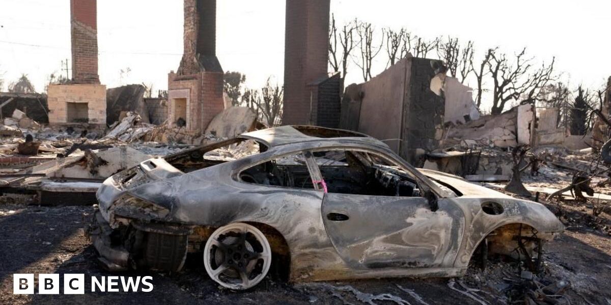
Wednesday’s critical conditions are due to the effects of moderate to locally strong Santa Ana winds coupled with very low humidity, said BBC Weather forecaster Sarah Keith-Lucas.
The winds are expected to peak again at 03:00 local time (11:00 GMT) for a period of twelve hours, according to the local office of the National Weather Service (NWS). Gusts could reach 50mph (80km/h).
Compared with last week’s conditions, winds are “weaker but still strong”, the NWS cautions.
For that reason, areas to the north-west of Los Angeles – including Simi Valley and Thousand Oaks – have been deemed to be particularly dangerous.
But an improvement in conditions is forecast later on Thursday and into Friday. Despite a change in winds, no rainfall is forecast for at least the next week, BBC forecaster Sarah Keith-Lucas added. And the Santa Ana winds that have been blamed for stoking the blazes could again develop from Sunday.
The fire chief for the city of Pasadena echoed the need for precipitation.
There had been no “real rain in southern California” for more than 250 days, Chad Augustin told BBC Radio 4’s Today programme.
On Wednesday, his firefighters would be on “standing guard ready to ensure that we hold our containment lines and we don’t burn up any more structures”, Mr Augustin added.


